Bikepacking the Lesser-Known Routes of the American Northeast
The dominant bikepacking conversation in the American Northeast still revolves around two routes: the Great Allegheny Passage running from Pittsburgh to Cumberland, and the Empire State Trail running from New York City to Buffalo and Albany. Both are good. Both are well-deserved. Both are also, on most summer weekends, more crowded than the friction-free experience that drew bikepackers to the activity in the first place.
The more interesting riding in 2026 is happening on the connector networks that link these major routes to each other and to smaller regional trails. These connectors have been quietly improving over the past five years, partly through formal trail organization investment and partly through informal route development by riders who have done the legwork of stitching usable segments together. The result is a network of multi-day routes that are less polished than the flagship trails but considerably more rewarding.
The connector geography
The Northeast has the densest set of long-distance cycling infrastructure in the country, but the infrastructure has historically been disjointed. Individual states built trails on a single-state logic without much attention to connections across state lines. The result was a set of stranded routes: the Adirondack rail trail in northern New York, the Lamoille Valley Rail Trail in Vermont, the rail trails of central Massachusetts and northern Connecticut, the network of state forest gravel in central Pennsylvania, the patchwork of conservation lands in northern New Jersey and the Hudson Valley.
What has changed over the past five years is that several of the gaps between these networks have been filled. Some of the connections are formal trails. More of them are routes that combine quiet paved roads, gravel forest roads, and short stretches of singletrack. None of these connectors would be considered impressive standing alone. Strung together, they enable multi-day rides that pass through multiple ecological zones and several distinct cultural regions.
A bikepacker leaving Pittsburgh today can reach the Catskills without ever riding on a major highway, mostly on gravel and quiet pavement. The route is roughly 600 miles. It passes through the Laurel Highlands of Pennsylvania, the Allegheny National Forest, the western Catskills, and into the eastern Catskills via a network of gravel roads through the Pepacton watershed. Five years ago, the route was theoretical. Today it can be ridden with a reasonable expectation of finding water, food, and lodging at sensible intervals.
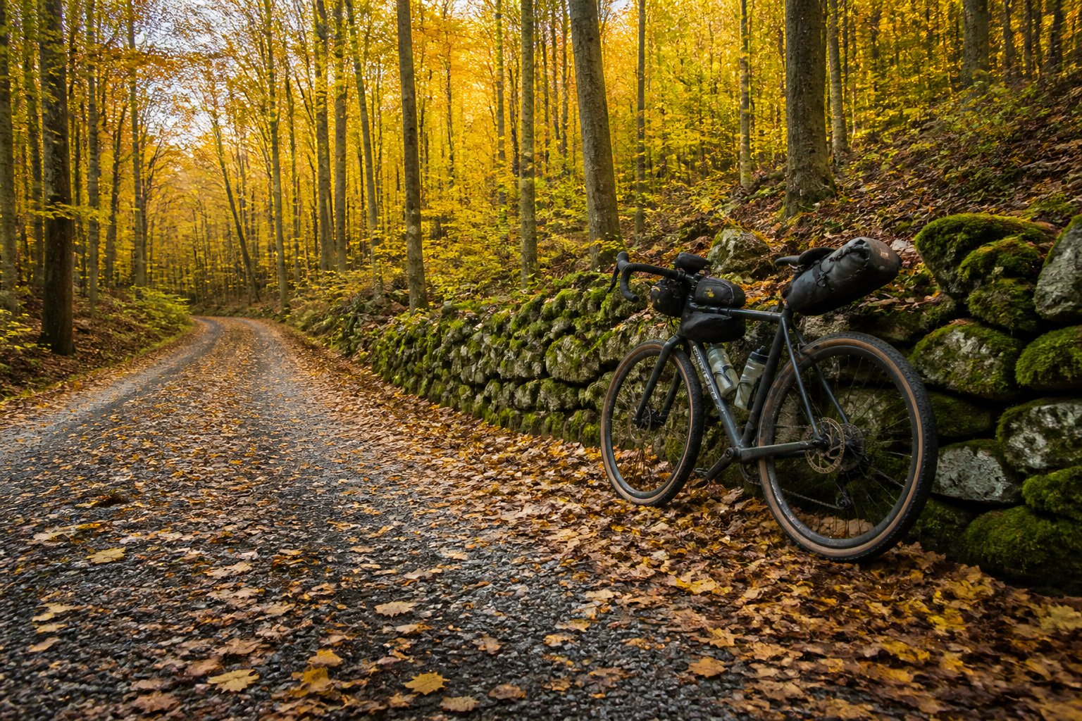
What the riding actually looks like
The connector routes are not flagship destinations in the way that the GAP or the Empire State Trail are. They do not have polished signage, dedicated trail centers, or large user communities. What they have is a different kind of appeal: long stretches of quiet forest road, occasional encounters with small towns that have not yet adapted their economies to bicycle tourism, and a sense of route discovery that has largely disappeared from the flagship trails.
A typical day on one of these connector routes covers 40 to 70 miles, depending on terrain and surface. The riding is generally slower than on a developed rail trail because the surfaces are more variable. Pavement segments alternate with hard-packed gravel, with occasional sections of looser road or short stretches of singletrack. The total elevation gain on a typical day is significant – often 3,000 to 5,000 feet – which is much more than the rail-grade flagship trails produce.
The accommodations are similarly variable. Some of the connector routes pass through small towns with motels, inns, or bed and breakfasts. Others require camping, either on public land or at established campgrounds. Several of the developed corridors in the Northeast now have a network of trail angels and small lodgings that cater specifically to bikepackers, but these are concentrated near the flagship trails and thin out quickly once a rider gets onto the connector network.
The route guides and the information layer
One of the underappreciated developments has been the maturation of digital route guides for these connector networks. Five years ago, putting together a multi-day Northeast bikepacking route required a combination of paper maps, conversations with local riders, and substantial trial and error. The current resource environment is much richer.
Several volunteer-driven mapping projects have built out detailed route guides for the connector networks. Bikepacking.com hosts an increasing number of curated routes through the region, complete with elevation profiles, surface descriptions, and water and food locations. Komoot, Ride With GPS, and several smaller mapping tools support route sharing in formats that make planning straightforward.
The information layer is not yet uniform. Some connector routes have detailed and well-maintained guides. Others rely on individual blogs from riders who completed them. The variance in route quality and current condition can be significant, and a rider planning a connector route needs to check multiple sources rather than relying on any single one. This is part of the appeal for many riders. It is also a barrier to entry for newer bikepackers, who are often more comfortable on the flagship trails where the navigation is essentially solved.
The towns the routes pass through
One of the more interesting recent developments is the emergence of small towns along the connector networks that have begun positioning themselves for the slow influx of bikepackers. The pattern is not coordinated. Individual cafes, breweries, and small inns have noticed that they get more cyclist business than they used to, and they have responded by adding bicycle racks, indoor storage, and occasionally targeted accommodations.
The towns where this is most visible tend to be ones that already had some tourism economy and were looking for ways to diversify away from a single seasonal driver. Several towns in the Catskills, central Vermont, and northern Connecticut have moved meaningfully in this direction over the past three years. The investments are modest – a single cafe upgrading its bike rack and adding a few menu items aimed at hungry cyclists is not a major economic intervention – but the cumulative effect along a route can be significant.
What makes this pattern interesting is that it is bottom-up rather than top-down. The towns are not being formally branded as bikepacking destinations by state tourism agencies. The accommodations are not being marketed through trail association websites. The business decisions are being made by individual proprietors responding to the slow but real growth in cyclist traffic past their doors.
What’s likely to develop next
The most likely trajectory is gradual densification of the connector network. More gaps will be filled. More routes will become bikeable end to end. More small towns along the connectors will adapt to the trickle of cyclist traffic. The flagship trails will continue to grow in usage, but the connector network will likely see faster growth in serious bikepacking use because it offers the experience that experienced riders increasingly seek.
For riders considering the region, the practical advice is to look beyond the named flagship routes. The Northeast’s most interesting bikepacking right now requires more planning, more navigation, and more comfort with rough surfaces and uncertain accommodations. The reward is riding through landscapes and towns that have not yet been polished for tourism, on routes that still feel found rather than developed. That experience is increasingly rare in the eastern United States. The connector network is one of the places where it still exists, and the next few years are probably the right window to seek it out.
About Maya Bennett
Maya Bennett is an independent writer covering sustainability, climate innovation, outdoor culture, and the evolving relationship between technology and everyday life. Her work focuses on how modern communities adapt to environmental change through smarter design, conscious living, and emerging technologies. Over the past decade, Maya has contributed to publications and digital media projects focused on environmental awareness, travel, wellness, and future living trends. She is particularly interested in sustainable cities, regenerative tourism, clean technology, and the growing intersection between nature and innovation. When not writing, she spends time exploring coastal destinations, hiking trails, and conservation-focused communities around the world. Her reporting combines research-driven insights with a practical perspective on how environmental and technological shifts influence daily life.